Projects
Contact
About
Extras
Projects
Contact
About
Extras
You may also like
Alo Wellness Branding
2015
Batla Campaign
2018
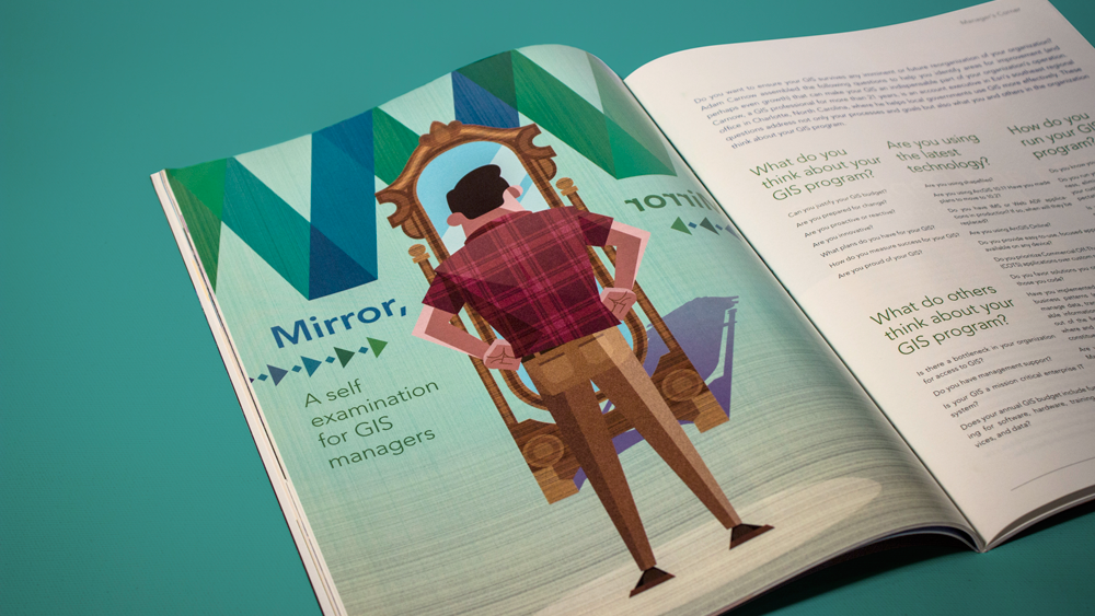
Mirror Mirror Illustration
2015
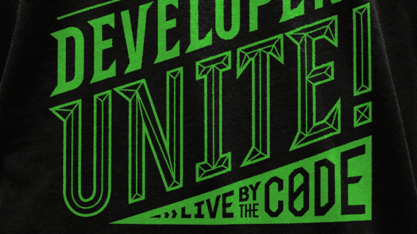
Developers Unite!
2015
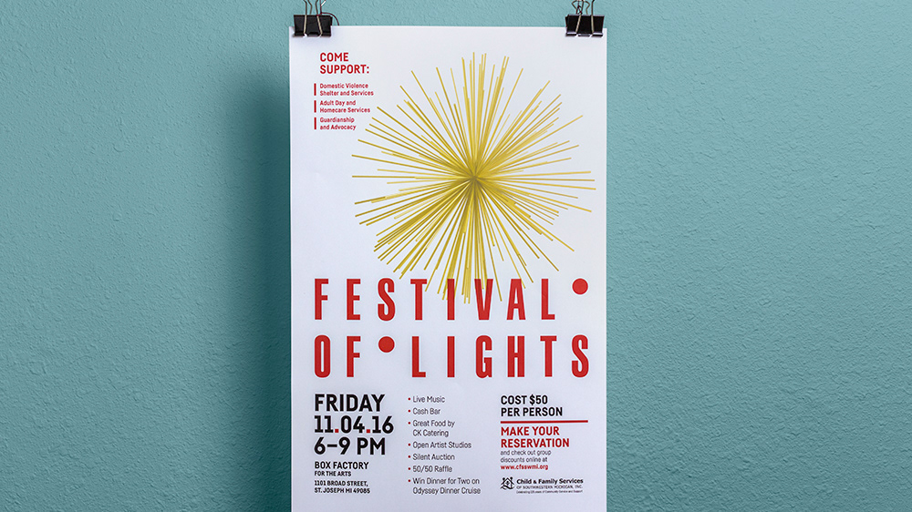
Festival of Lights Promotional Design
2016
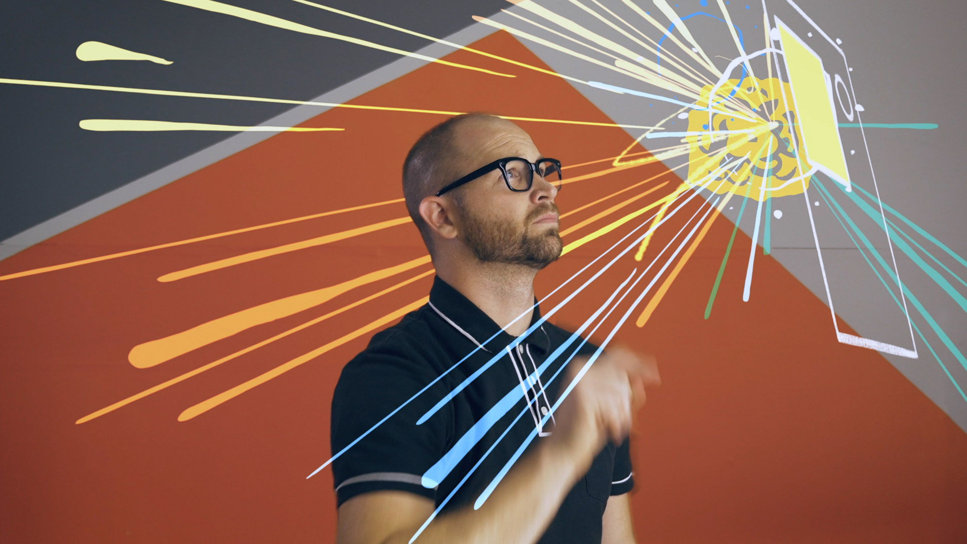
Hounder Brand Videos
2018
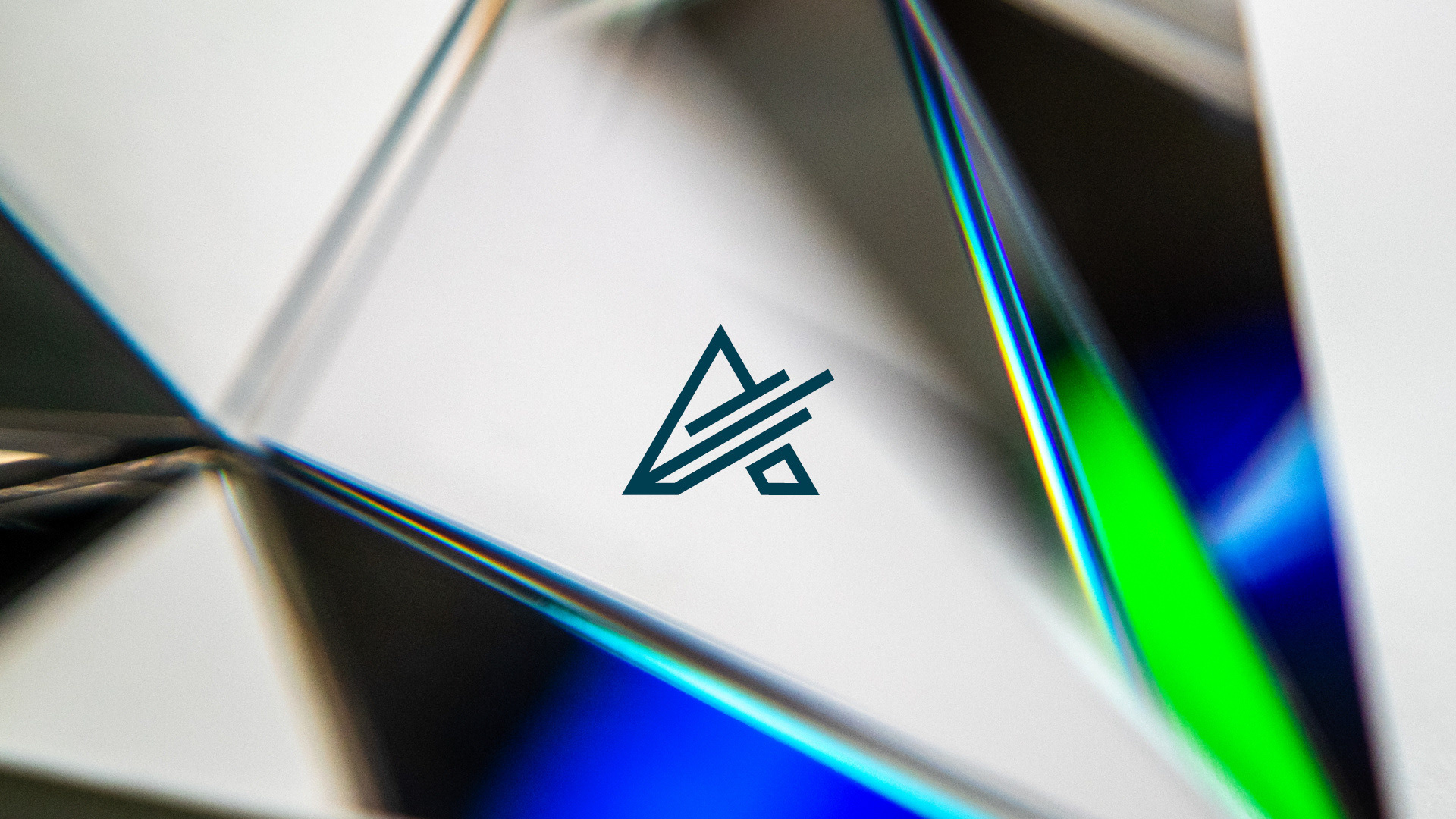
AeroSurvey Identity
2023
Geodesign Summit Branding
2016
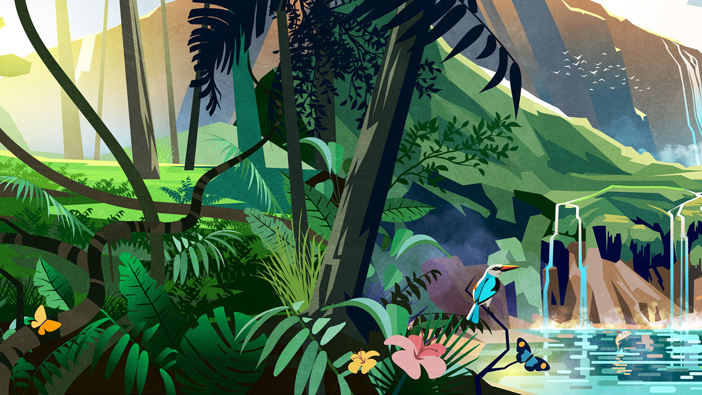
Esri User Conference Stage Illustration
2021
Smiley Forms Logo
2015
↑
Back to Top