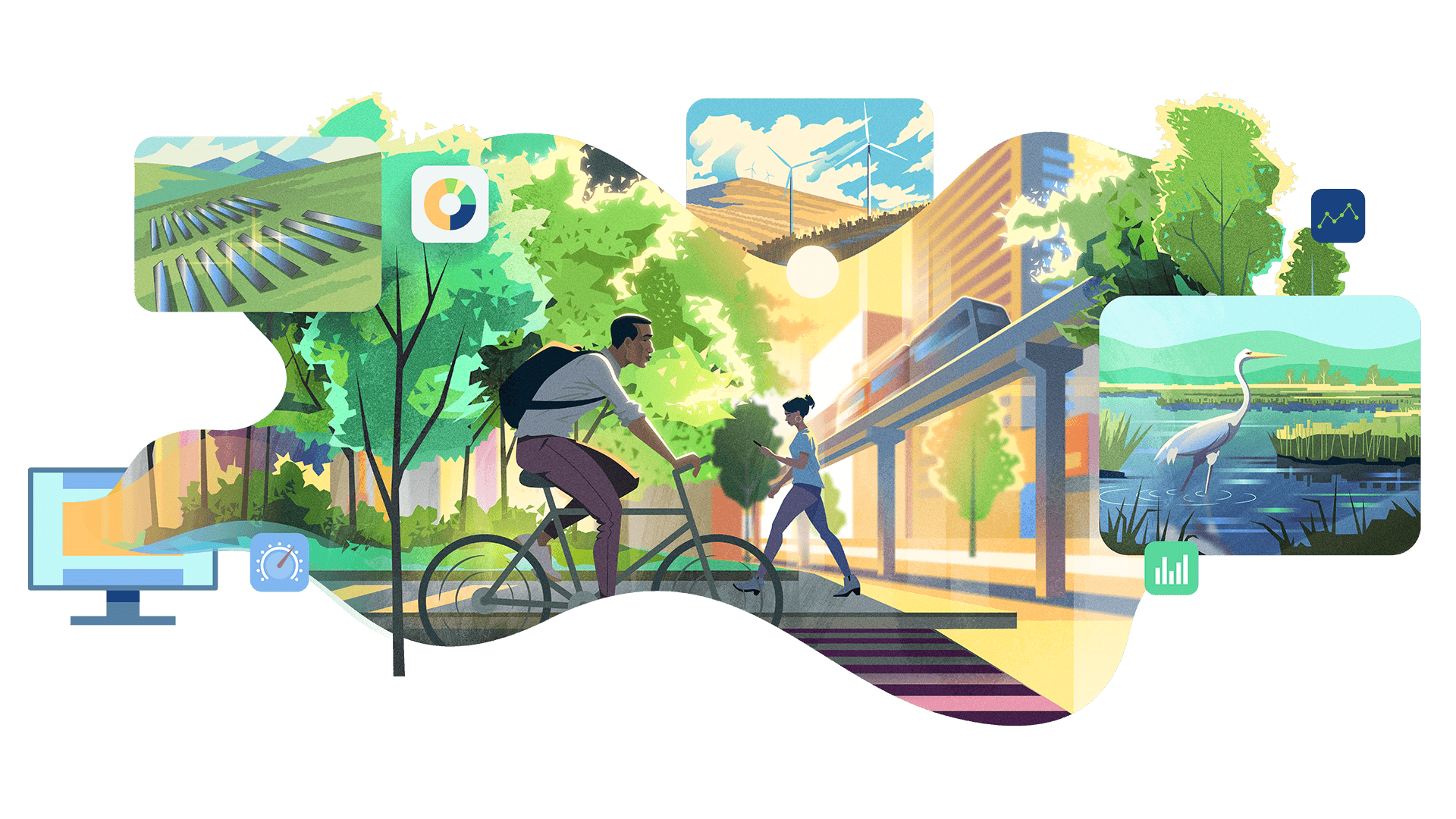
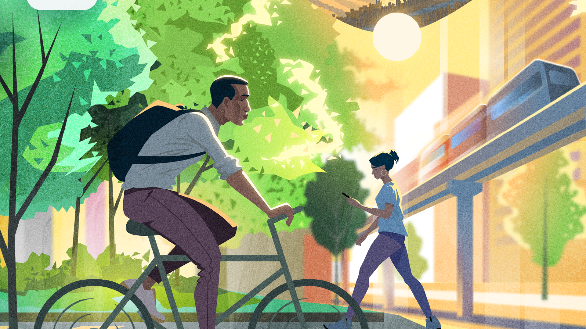
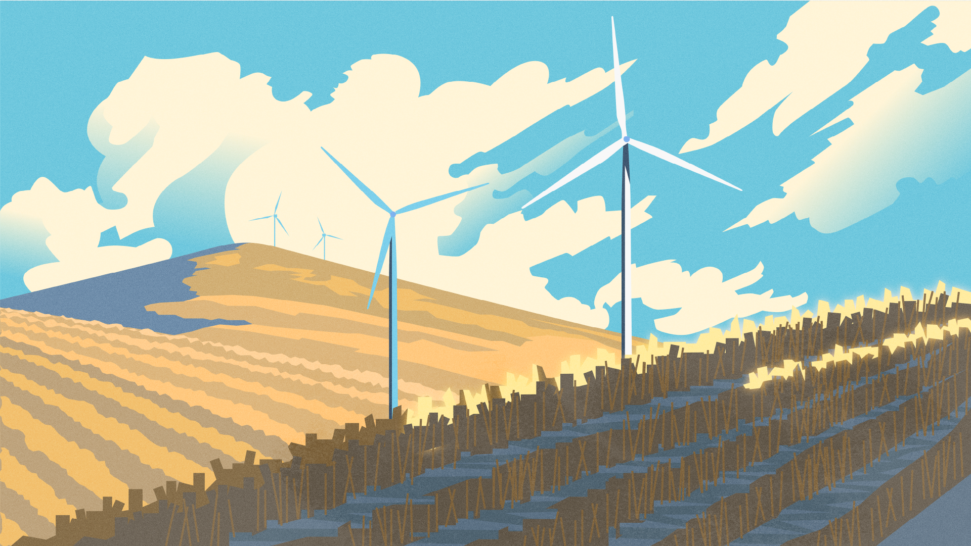
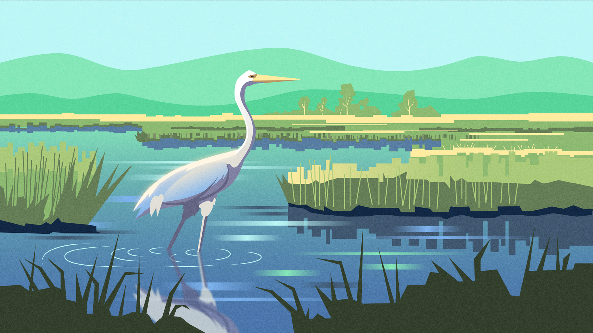
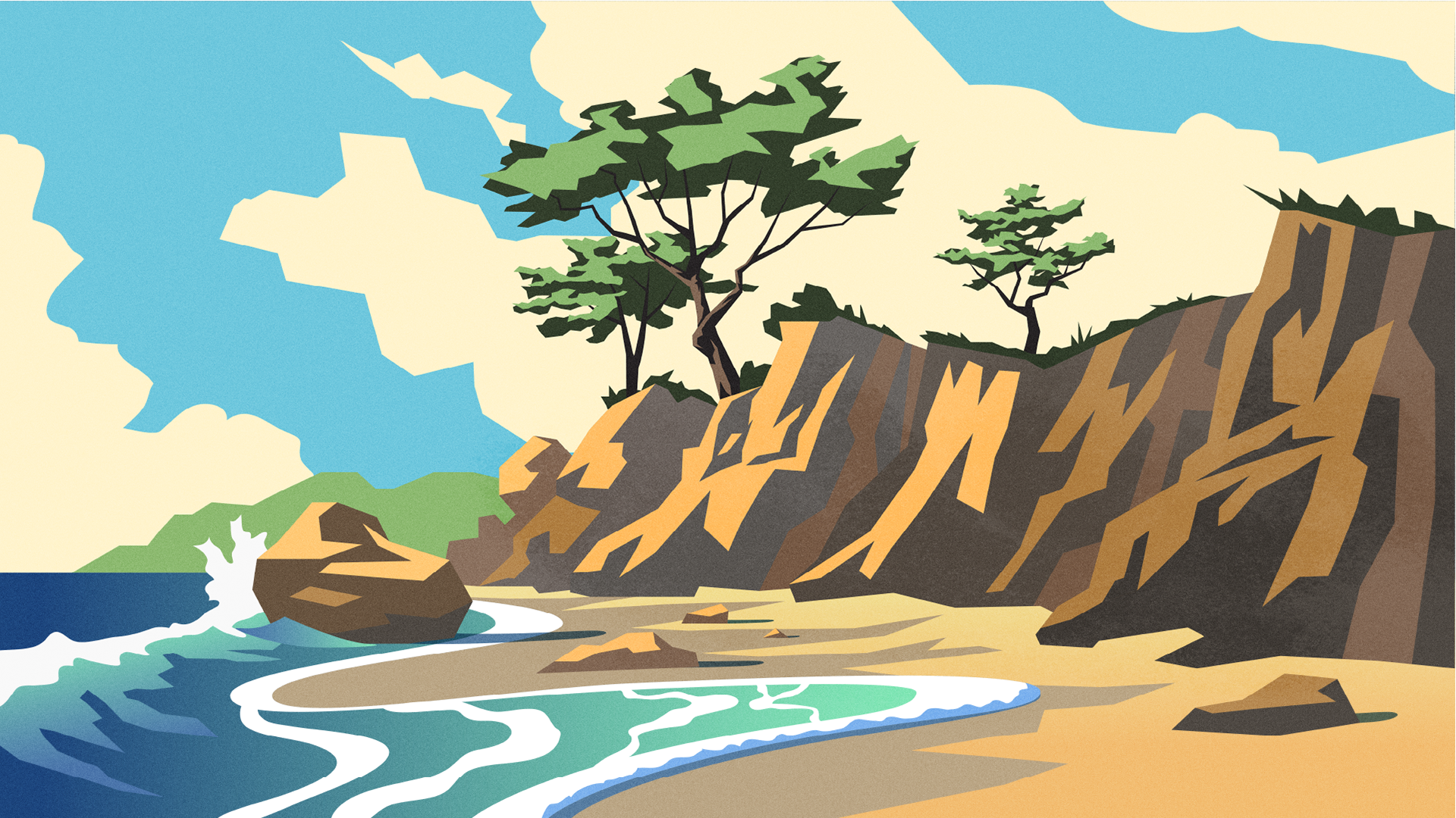
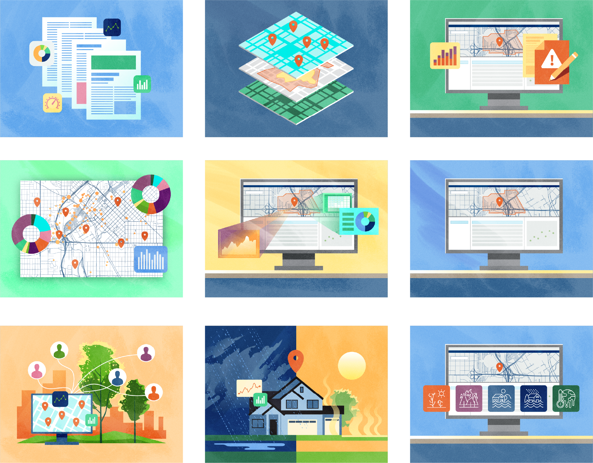
This series of illustrations was commissioned for part of a government climate web portal developed in partnership with Esri. The portal allows users to assess varying climate risks by location via an interactive map and dashboard.
My Role:
Illustration
Tools:
Illustrator, Photoshop
Illustration
Tools:
Illustrator, Photoshop


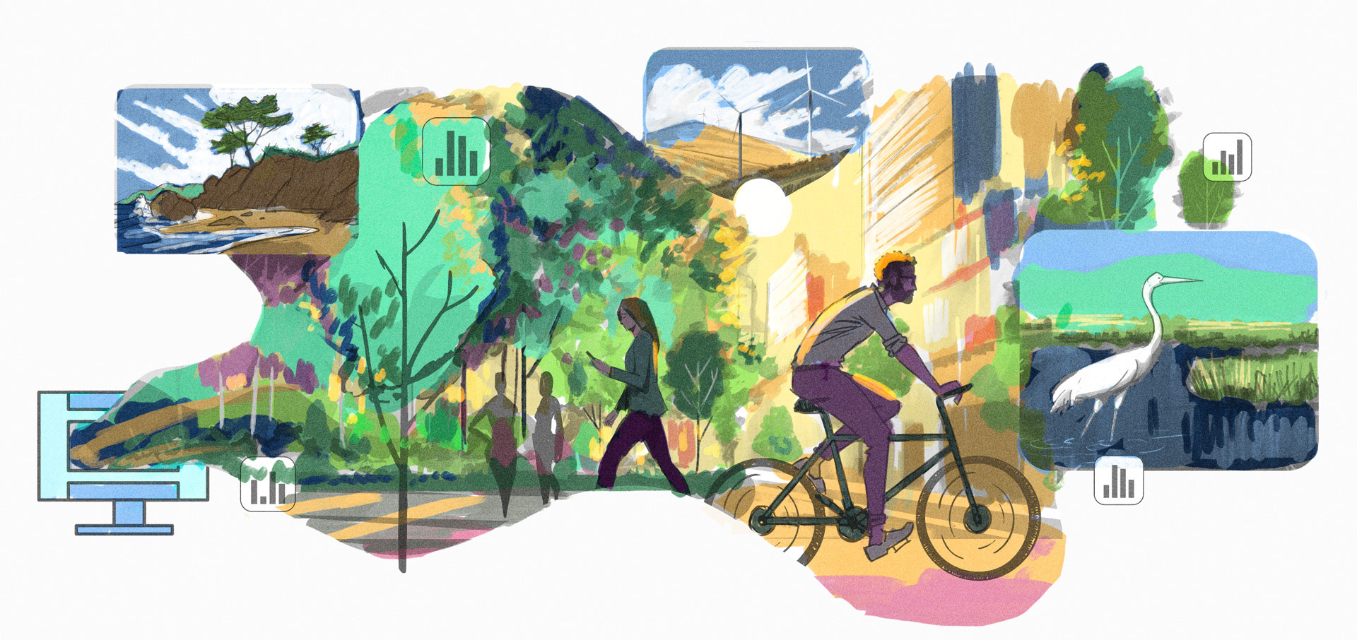
Initial rough color study
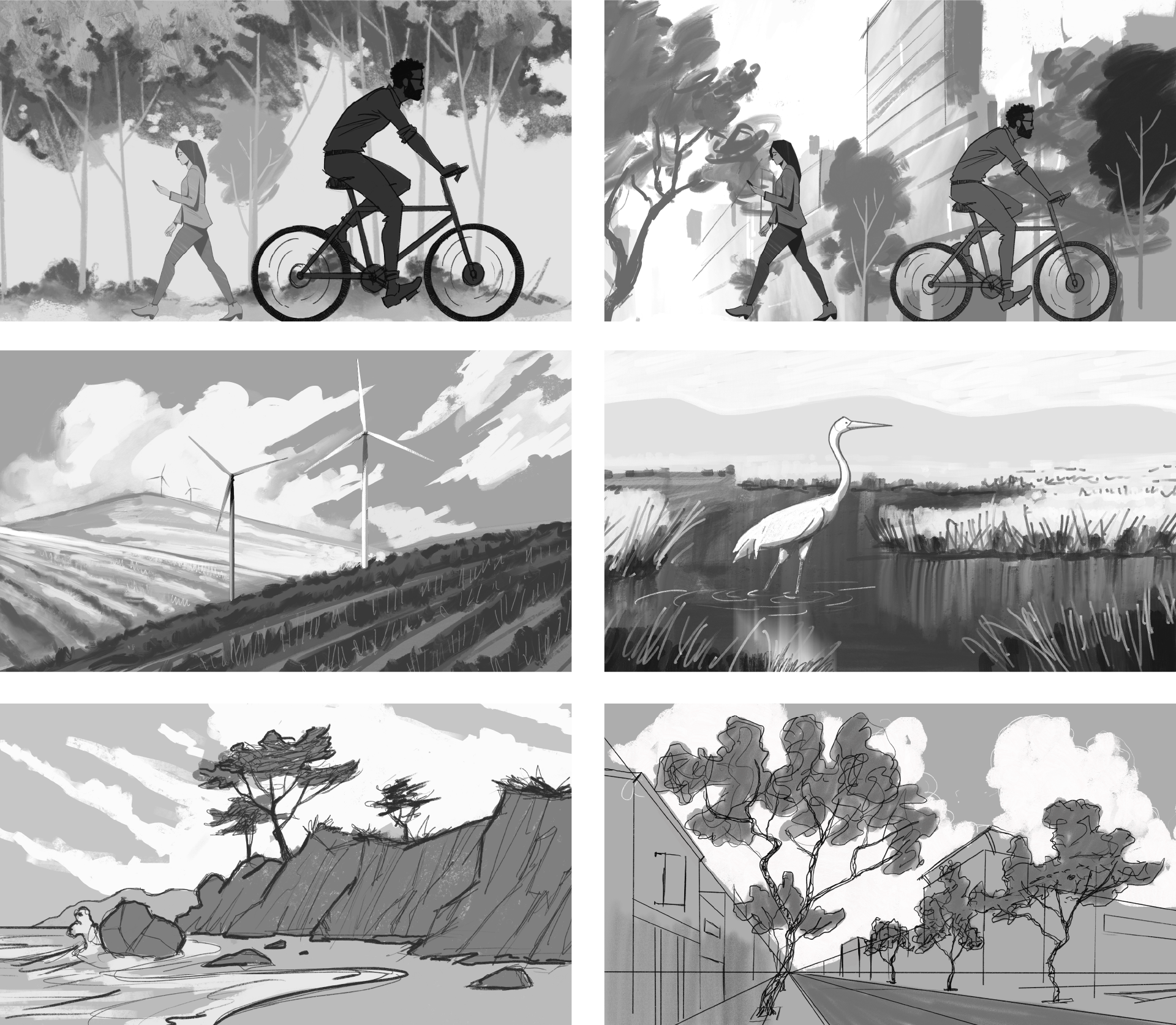
Rough sketch process