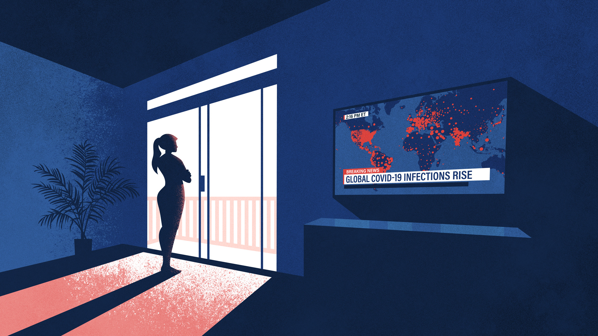
This illustration for Esri’s ArcNews depicts both the personal isolation wrought by the COVID-19 pandemic, as well as the proliferation of geographic depictions of the viral spread. The article addresses the important role of GIS in depicting information in spatial and temporal terms, which can facilitate smarter policies and a more well-informed public.
My Role:
Art Direction, Illustration
Tools:
Illustrator, Photoshop
Art Direction, Illustration
Tools:
Illustrator, Photoshop